Mapping Old Perth
326775PD: Spray on sun tan lotion booth on a Perth beach sponsored by Radio 6KY, October 1971
Last month, OldPerth, an exciting collaboration between the State Library and Curtin HIVE was launched.
Using geocoding to identify the location of historical photographs, the images are placed on an interactive map, allowing people to go the website and click on points on the map and view the photographs of the location.
The State Library of Western Australia has an amazing collection of materials documenting the history of Perth and the wider state of Western Australia. The collaboration between Curtin University and SLWA has focused on ways to gain added value from the photographic collection and develop new techniques to make that collection more accessible to researchers, practitioners and the general public
The OldPerth site also provides an alternative way of browsing the State Library’s incredible historic photographic collection of Perth and the state of Western Australia. Its goal is to help you discover the history behind the places you see every day.
Visit the site at:
https://www.oldperth.org.au/
Fremantle Harbour c1920
Extracted Address: FREMANTLE HARBOUR FREMANTLE]
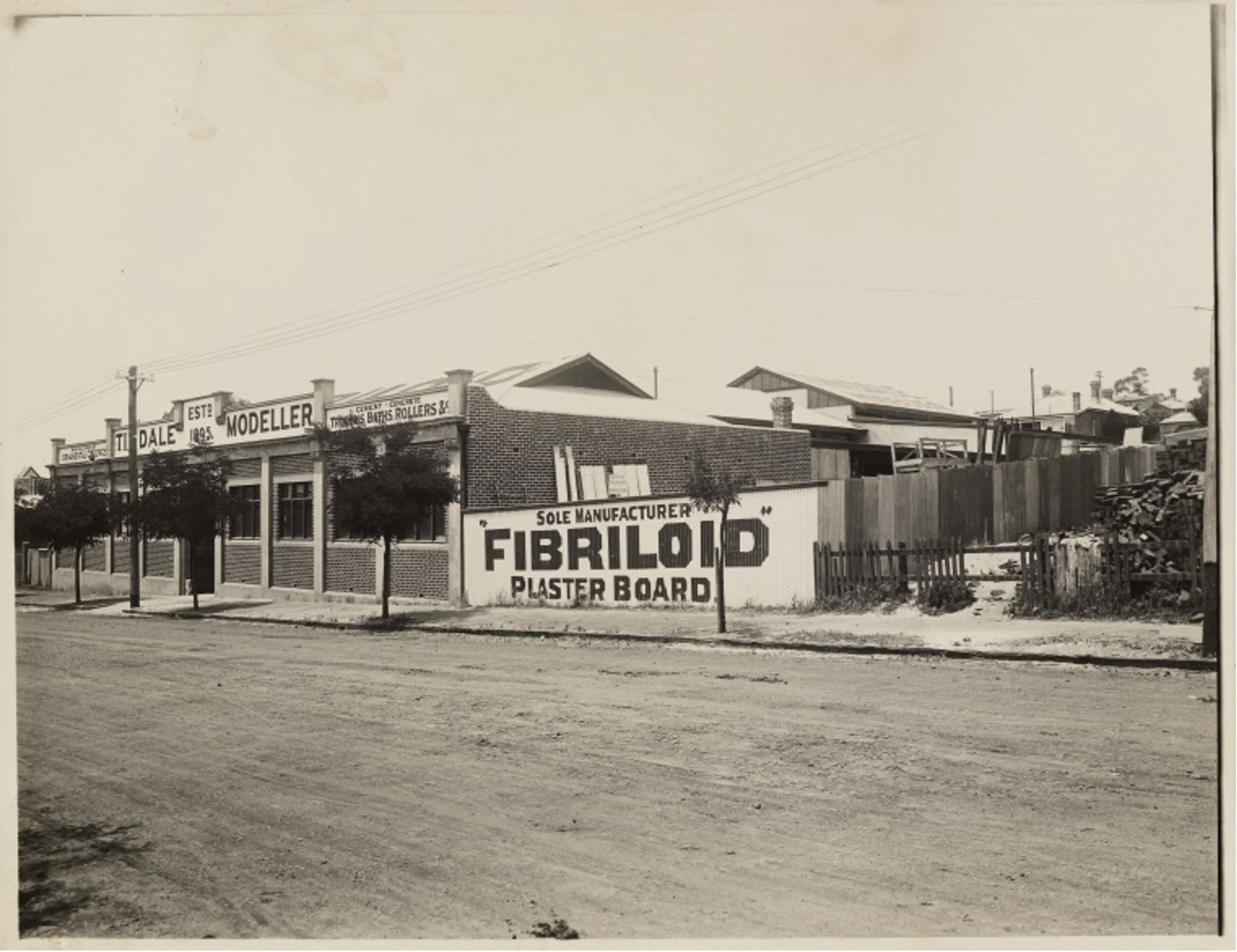
BA533/161: Tindale, Modeller for ornamental ceilings, 875 Wellington Street, Perth, 1923?


![Fremantle Harbour c1920 Extracted Address: FREMANTLE HARBOUR FREMANTLE]](https://images.squarespace-cdn.com/content/v1/5ae68407b10598325d131ffe/1622170596646-PEQDMH0L7ZHAROQE2SX8/Fremantle+Harbour+c1920+%5BExtracted+Address%3A+FREMANTLE+HARBOUR+FREMANTLE%5D)
